Lower Macungie
Pennsylvania, United States
cityPop: 32 46240.5303, -75.5700
Flights to Lower Macungie Area - Lehigh Valley International Airport
ABETo travel to Lower Macungie, fly to Lehigh Valley International Airport (Allentown, US), located approximately 17.70 km away.
Hotels & Rentals
Explore accommodation options near Lower Macungie
Weather
Macungie, United States of America
Local time: 2026-07-18 13:13
23°C
Feels 25°C
Light rain · Wind 13 kph · Humidity 94%
Sat, Jul 18
19° / 29°
Smoky haze
Sun, Jul 19
16° / 26°
Sunny
Mon, Jul 20
12° / 27°
Sunny
Cached · TTL 1800s
Currency
In United States the currency is USD. 10 USD ≈ $10.00 as of today.
Rate: 1 USD ≈ $1.00
Closest Airport
ABE
Lehigh Valley International Airport
Allentown, US
17.70 km
Videos closest to Lower Macungie

1:58
72.64 km
36 Hours in Philadelphia: Love Park, City Hall & More (4K)
Christopher Putvinski
3966Love Park, Philadelphia, USA

4:06
72.87 km
4K Drone Footage of Downtown Philadelphia
TAPP Channel
211144Philadelphia, United States

4:37
72.87 km
Philadelphia: Must-Know Tips Before You Visit
Creative Travel Guide
25853Philadelphia, Pennsylvania, USA

22:14
97.86 km
Exploring The Office's Real Locations in Scranton, PA!
Adam and Madalyn
5889Scranton, Pennsylvania, USA

3:09
97.86 km
Stunning Drone Video of Snow-Covered Downtown Scranton, PA
Ben Childers
11548Scranton, Pennsylvania

1:26:50
97.86 km
4K No-Talking Morning Drive Through Scranton, Pennsylvania!
Decelerated Travel
998Scranton, Pennsylvania, USA

8:04
120.45 km
Top 10 Things to Do in Staten Island, NY | 2024 Travel Guide
Vacation Idea
14984Staten Island, New York, USA

6:31
120.45 km
Staten Island Ferry: Free NYC Ride with Statue of Liberty Views
Urban Caffeine
115814Staten Island Ferry, New York, USA

11:08
120.45 km
Exploring Staten Island: Midland Beach & Fort Wadsworth Walk
Manny Explores
6523Staten Island, New York
4:17
129.44 km
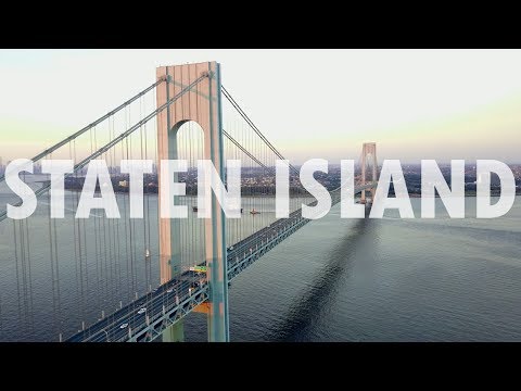
Discover Staten Island: Borough of Parks & Hidden Gems
Matt Chirico
223354Verrazzano-Narrows Bridge, Staten Island, New York, USA

9:54
133.88 km
Flying a Drone Legally in New York City
CaseyNeistat
2139303New York City, United States

5:01
133.88 km
4K Aerial Drone Footage of New York City, NY
TAPP Channel
321908New York City, United States
Places closest to Lower Macungie
Upper Macungie
Pennsylvania, United StatescityPop: 27 100
6.33 km
Emmaus
Pennsylvania, United StatescityPop: 11 727
6.14 km
South Whitehall
Pennsylvania, United StatescityPop: 21 173
9.60 km
Allentown
Pennsylvania, United StatescityPop: 632 175
10.83 km
Salisbury
Pennsylvania, United StatescityPop: 13 605
11.14 km
Fullerton
Pennsylvania, United StatescityPop: 16 729
13.36 km
Whitehall
Pennsylvania, United StatescityPop: 29 128
15.13 km
North Whitehall
Pennsylvania, United StatescityPop: 15 702
16.61 km
Upper Saucon
Pennsylvania, United StatescityPop: 17 158
13.71 km
Northampton
Pennsylvania, United StatescityPop: 10 366
18.62 km